Red Hands Cave and Axe Grinding Tour
Dharug & Gundungurra Country

1 h 45 min to 2 h

4 km
circuit

↑ 164 m
↓ -163 m

Moderate track
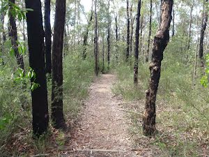
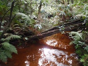
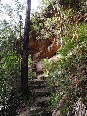
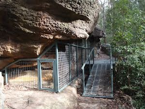
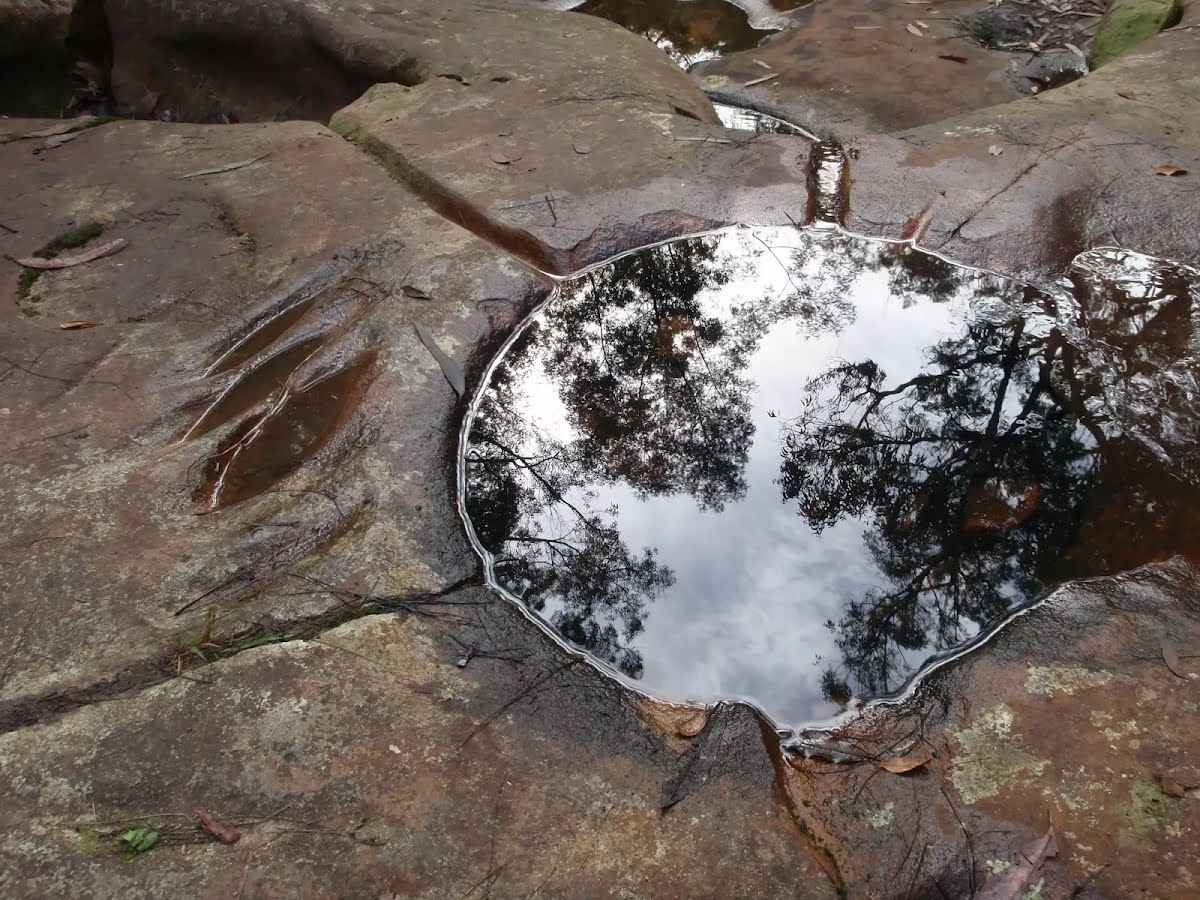
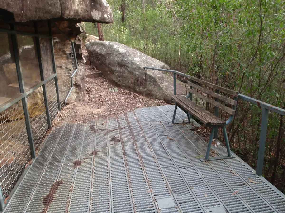
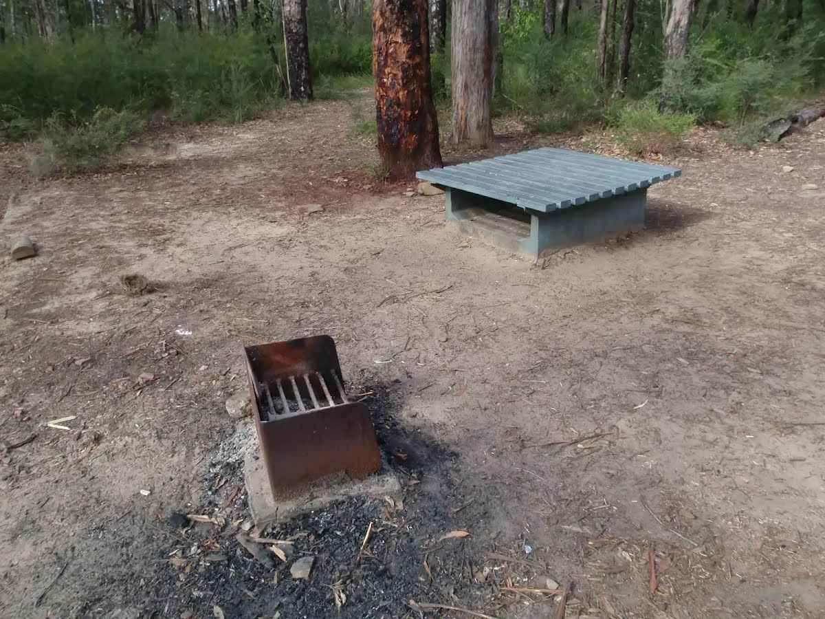
This is a cultural walk with two significant sites being visited along the way. The walk leaves the quiet Red Hands Cave picnic area and winds down the valley to the Axe Grinding Grooves, once used by Indigenous Australians. The track then follows Campfire Creek up to Red Hands Caves and visits the magnificent cave paintings before returning to the picnic area for a bite of lunch. Let us begin by acknowledging the Dharug & Gundungurra people, Traditional Custodians of the land on which we travel today, and pay our respects to their Elders past and present. 
Show all
Red Hands Cave Picnic Area. | Photo by admin, 2009.
Sign at Red Hands Cave picnic area. | Photo by admin, 2009.
Track to Grinding Grooves. | Photo by admin, 2009.
Track to Red Hands Cave car park. | Photo by admin, 2009.
Track down the valley to grinding grooves. | Photo by admin, 2009.
Track up to Red Hands Cave car park. | Photo by admin, 2009.
Signs across small stream. | Photo by admin, 2009.
Fern above stream. | Photo by admin, 2009.
Nice little stream. | Photo by admin, 2009.
Track down to Grinding Grooves. | Photo by admin, 2009.
Track beneath cliffs. | Photo by admin, 2009.
Track just near Grinding Grooves. | Photo by admin, 2009.
Grinding Grooves. | Photo by admin, 2009.
Grass tree next to track to Red Hands Cave. | Photo by admin, 2009.
Branch bridge below Link Track intersection. | Photo by admin, 2009.
Track up to Red Hands Cave. | Photo by admin, 2009.
Red Hands Cave protective cage. | Photo by admin, 2009.
Red Hands in cave. | Photo by admin, 2009.
Red Hands Cave decking. | Photo by admin, 2009.
Track above Red Hands Cave. | Photo by admin, 2009.
Track up to Red Hands Cave picnic area. | Photo by admin, 2009.
Red Hands Cave car park. | Photo by admin, 2009.
Map Notes Terrain Reviews Conditions More
Downloads GPX PDF

Some of the information and maps on this page was generated using data from the awesome © OpenStreetMap contributors.
Please see how you can embed some widgets, access data and other stuff to that might be helpful.